 A typical route defined by map references might therefore be:
Often called Map References, they are most commonly given to six figures, based on each grid square on the map being divided into tenths in each direction. For example:
442568
The explanation will be simplified if we split up the 6-figure reference thus:
44..2 56..8
To plot the grid reference onto your map you must go "along the passage and up the stairs", so the first part relates to the grid line numbers across the map and the second part the numbers up the map. From the intersection of gridlines 44 (across) and 56 (up), you go 2 tenths of a square to the right and 8 tenths of a square up and you have your point.
An essential piece of equipment for speedy and accurate plotting of grid references is a Romer.
To be precise, the six figure grid reference does not define a single point, but a 100 metre square, in the same way that the whole 1 km grid square is defined by the four figure grid reference 4456.
If a grid reference is required to greater accuracy than 100m, then it may be given in eight or ten figures. For example:
44255677 or 4425056775
In this case the additional figures represent further subdivision of the 100m square indicated by the preceding figures. It is quite common to use simple fractions or decimals in place of the additional figures.
442˝567ľ or 442.5 567.75
Grid References can also have the direction of approach and/or the direction of departure attached. The approach direction always comes before the reference and the departure direction comes after it.
NE345980 means approach 345980 from the North East.
765987W means depart 765987 to the West.
N123456SW means approach 123456 from the North and depart to the South West.
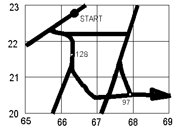
A typical route defined by map references might therefore be:
TC1 664228SW via W670222E via NNE672˝204˝ via 679205E TC2 W689˝205